Interactive map shows which tribal land you’re living on
Long before European settlers began colonizing the land we now know as North America, hundreds of thousands of people lived here. An increasing number of states now celebrate Indigenous Peoples’ Day either concurrent with or in place of Columbus Day, on the second Monday in October, which might motivate you to learn more about the Native Americans who originally inhabited the area you call home.
Victor Temprano, CEO of mapping software developer Mapster, is also the founder of Native Land Digital, a Canadian not-for-profit organization. While working on resource development projects mapping out pipelines in British Columbia several years ago, Temprano began to wonder whose territories they originally were. As he started to research various tribes, he mapped the geographic data he discovered and it grew from there.
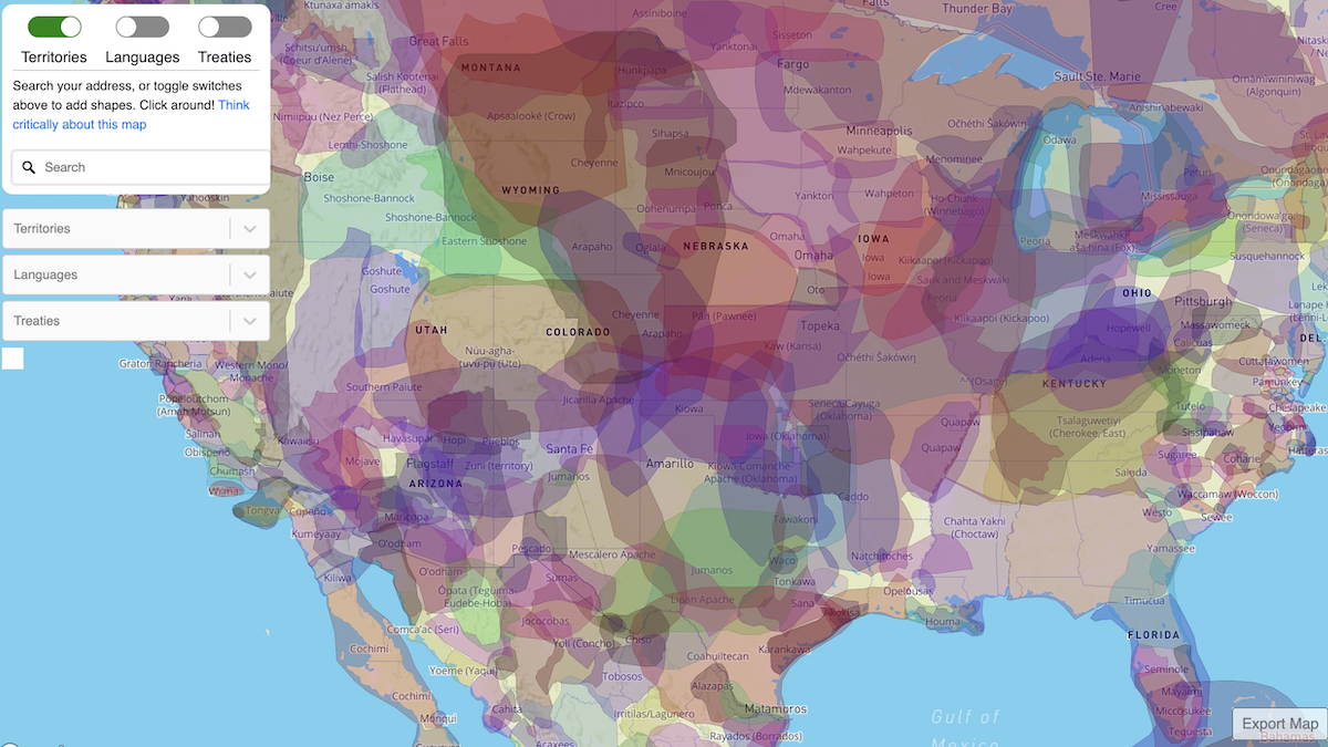
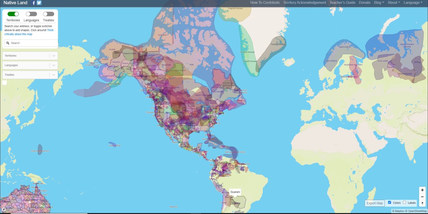
With an Indigenous Executive Director and Board of Directors who oversee and direct the organization, Native Land Digital has made its data public. You can access the map to learn about territories, languages and treaties of Indigenous Peoples associated with virtually any address.
For example, if you put in The White House, you’ll see that America’s most famous residence sits on land that belonged to the Anacostan and Piscataway tribes. Jumping to the other coast, you’ll find that California’s iconic Hollywood Sign is on land that belonged to the Chumash, Tongva and Kizh people.
Meanwhile, a search for Walt Disney World’s Magic Kingdom Park shows that the beloved theme park exists on Seminole land.

To use the address search feature, begin typing an address into the search field and select the correct location from the list of suggestions. Alternatively, you can move around the interactive map and zoom in on any area for details.
You can then toggle the switches that display territories, languages and treaties to learn more. Links are also provided for each tribe or nation listed to direct you to websites and other maps where you can learn more.
Native Land Digital provides a teacher’s guide, which educators can use to help teach history, start discussions and offer feedback. There is also a section for contributors, where users can make suggestions, notify the developers about errors or learn about volunteer opportunities. Donations are also accepted to help the project continue and grow.
To try the map for yourself, visit Native-Land.ca and start learning.
Related posts