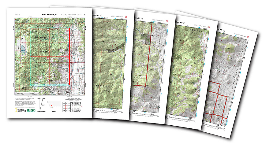
National Geographic Offering Free, Printable Topographic Maps
When it comes to looking at a map, most of us have become reliant on just using our cell phones for directions.
However, for those who are looking for more than just directions, you no longer have to search around to secure a good topographic map. National Geographic is offering a number of free, downloadable PDF topographic maps of the United States.
These are the same map (called “quads”) that were printed by the United States Geological Survey (USGS) for decades, they but are now available in multi-page PDFs that can be printed on your standard letter-size printer at home. Just head to the National Geographic website, type in the address or area you are looking for, and voila! Topographic maps show the various elevations within a quad as well as areas of vegetation and water. Once you download, you’ll receive a PDF with an overview and four different topographic maps of that area.
Whether you’re going somewhere new or just want to study geology, these free maps are an inexpensive and educational resource.
Related posts