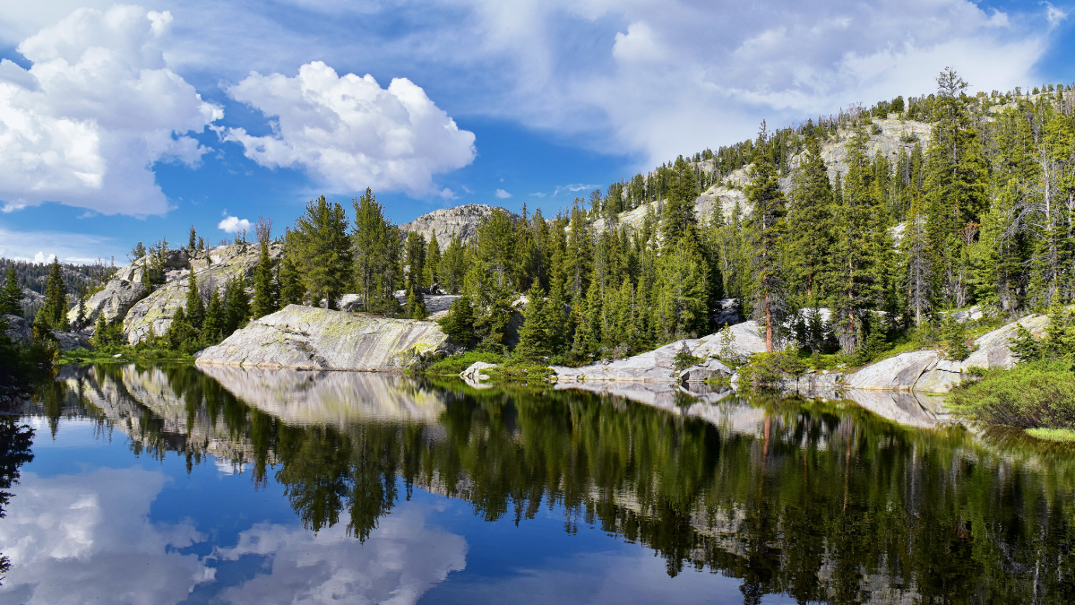
This beautiful map shows every river basin in the US
For geography-lovers, this map of the United States is extraordinary. With what look like veins, the map details the 18 river basins in the 48 states of the contiguous U.S.
Created by Imgur user Fejetlenfej (aka Robert Szucs), who is a geographer and GIS analyst with a “lifelong passion for beautiful maps,” this map is dominated by the pink area in the center, which depicts the expansive catchment area for the Mississippi River. The basin includes the Upper and Lower Mississippi River Basins, plus the Missouri River Basin and the Arkansas-White-Red Basin.
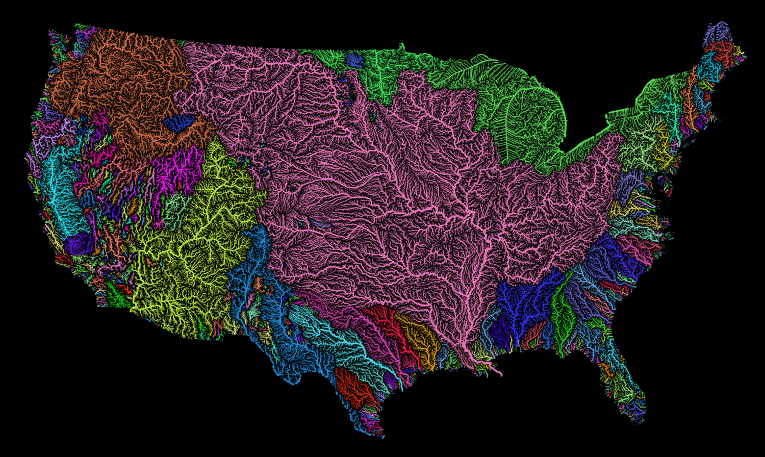
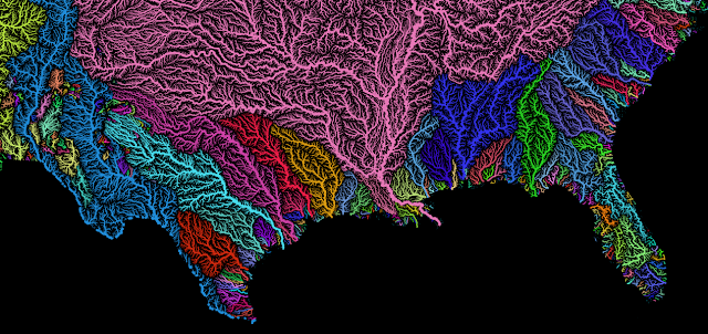
In the images from Imgur, the Upper and Lower Colorado River basins are shown in bright yellow. The map also depicts the Rio Grande basin, which is shown in blue, between Colorado Basin and the Arkansas-White-Red Basin. The Rio Grande heads all the way down to the bottom of Texas.
On the coasts, there is a plethora of colors showing the many rivers that border the Atlantic and Pacific Oceans.
According to the creator, the map “shows Strahler Stream Order Classification. The higher the stream order, the thicker the line.” This map was mostly created using open-source QGIS software.
If you love this map, you can buy a print of it from the creator on Etsy. From there, you can keep adding to your map collection with a custom constellation map, also available on Etsy.
Or if you’re really looking for something rare, check out this original map from A. A. Milne’s book “Winnie-the-Pooh” that sold for a record-breaking $570,000!
If you’re interested in less expensive maps, National Geographic offers free printable ones. They have everything from trail guides to traditional maps, so geography fans can map-gaze to their heart’s content!
Related posts